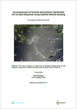
This report provides an assessment of satellite surveillance for oil spill response and focuses on identifying capabilities and gaps associated with surveillance monitoring from satellites. The report focuses on the surveillance capabilities of satellites, considering both the intrinsic capabilities and the practical and operational capabilities of sensors and relevant platforms for oil spill response. This report is linked to many of the recommendations from the API in their assessment of remote sensing for oil spill response. The API report provides recommendations in terms of how remote sensing is integrated into the overall OSR activity; how to involve remote sensing using a 5 step process in terms of teaming, key individual roles and links to specific applications within OSR, and how to select the most appropriate remote sensing technologies and platforms via an assessment of their strengths and weaknesses. This report does not address issues related to teaming and application to the broader OSR activity; instead, it focuses on some of the practical issues associated with satellite data availability. There is some overlap between the two reports in terms of providing information on intrinsic sensor capabilities, but the results of the two assessments are consistent. This report is therefore complementary to the API report on Remote Sensing in Support of Oil Spill Response.
Ipieca and IOGP have launched a quick reference infographic and video for local responders to use when deciding whether to spray surface dispersant on oil spills.
Ipieca has partnered with the United Nations Development Programme (UNDP) and the International Finance Corporation (IFC) to develop a shared understanding of the implications of the UN SDGs for the oil and gas industry and how the industry can most effectively contribute.
A joint UNDP, IFC, Ipieca and ICMM side event summary
Ipieca has partnered with the United Nations Development Programme (UNDP) and the International Finance Corporation (IFC) to develop a shared understanding of the implications of the UN SDGs for the oil and gas industry and how the industry can most effectively contribute.