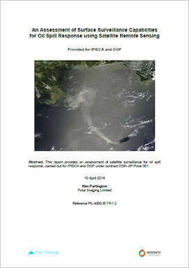
This report provides an assessment of satellite surveillance for oil spill response and focuses on identifying capabilities and gaps associated with surveillance monitoring from satellites. The report focuses on the surveillance capabilities of satellites, considering both the intrinsic capabilities and the practical and operational capabilities of sensors and relevant platforms for oil spill response. This report is linked to many of the recommendations from the API in their assessment of remote sensing for oil spill response. The API report provides recommendations in terms of how remote sensing is integrated into the overall OSR activity; how to involve remote sensing using a 5 step process in terms of teaming, key individual roles and links to specific applications within OSR, and how to select the most appropriate remote sensing technologies and platforms via an assessment of their strengths and weaknesses. This report does not address issues related to teaming and application to the broader OSR activity; instead, it focuses on some of the practical issues associated with satellite data availability. There is some overlap between the two reports in terms of providing information on intrinsic sensor capabilities, but the results of the two assessments are consistent. This report is therefore complementary to the API report on Remote Sensing in Support of Oil Spill Response.
16 April 2014
This report focuses on identifying capabilities and gaps associated with surveillance monitoring from aircraft, covering both surveillance platforms and sensors. The report then conducts an assessment of the capabilities of the technology for OSR and provides findings for enhanced use of the technology by the industry.

This document refers to the importance of oil characterisation and the oil spill response parameters important in assessing strategy following a spill.
Sensitivity maps convey essential information to those responding to oil spills by identifying the sites of coastal resources and environmentally-sensitive areas. (Revision 2016)
The objectives and activities of OSPRI are explained in this short briefing paper.